LVS - AirSearch
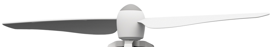
Drone and Module
The drone ensures fast and efficient operations, navigating challenging terrains with ease
The system's core is the LVS module, which monitors signals and transmits data to the drone.
.jpg?etag=undefined&sourceContentType=image%2Fjpeg&ignoreAspectRatio&resize=343%2B322&extract=0%2B0%2B343%2B318&quality=85)
LVS Module
Our advanced avalanche transceiver module is based on the BCA Tracker 3 device and enhanced with a custom-designed circuit. This innovation enables seamless transmission of transceiver signals to the drone, which autonomously navigates to the buried person as soon as a signal is detected-ensuring faster and more efficient rescues.
Groundstation Software
Simple to operate, make accurate search grids and mark buried people.

The ground control software enables efficient and precise drone operations for search missions. Based on Google satellite maps, it works entirely offline and initializes the drone’s position automatically - regardless of location. Users can easily set waypoints via right-click and define a search area with just four clicks. With a single tap on “Start Search,” the drone follows an optimized zigzag pattern to cover the area systematically. Altitude and speed are handled automatically, ensuring smooth navigation. Real-time data such as drone position, battery level, and altitude are displayed continuously, providing full situational awareness during the mission. Ideal for rapid and accurate avalanche victim searches.
Drone in Action
Watch our drone fly autonomously, guided solely by our ground control software
Why a drone?
Why did we chose a drone?
Search time
When searching for buried individuals, every second matters. A drone can effortlessly navigate any terrain, significantly reducing search time
Efficiency
Rescue teams often use helicopters to find buried persons, but drones offer a cheaper, practical, and efficient alternative.
TECHNICAL SPECIFICATIONS
DRONE
DESIGN
Model: HAWKS - WORK F450
Weight: 1000g
Dimensions: 363 X 363 X 40
max. take-off weight: 1800g
Battery Type: Lithium Battery

FLIGHT
Flight Time: 10 - 20 mins
Range (by remote): 500 m (FS-I6X)
Range (programmed): 1-2 km (dependent on battery)
Software: PX4 Autopilot
Control Modes: RC, programmable
LVS - AirSearch
Copyright © All Rights Reserved
CONTACT US
Thank you to our sponsors!


